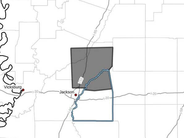
A Facebook post at 4:30 p.m. CDT Tuesday said Doppler radar was tracking strong thunderstorms that could impact northeastern Rankin, east central Yazoo and Madison counties through 5:15 p.m. CDT.
At 4:30 p.m., radar tracked a line of strong storms extending from near Canton to Farmhaven moving south at 25 mph, the post said. The storms were expected to produce wind gusts up to 40 mph and half-inch hail.
Officials warned gusty winds could knock down tree limbs and blow around unsecured objects, and that minor hail damage to vegetation was possible. The post listed expected arrival times as: Jackson, Canton and Gluckstadt around 4:35 p.m.; Annandale around 4:40 p.m.; Madison, Goshen Springs and Pisgah around 4:45 p.m.; Ridgeland around 4:50 p.m.; and Fannin and Leesburg around 4:55 p.m.
If outdoors, the post advised seeking shelter inside a building and securing loose outdoor items. Strong thunderstorms can produce damaging wind and hail; residents should monitor local forecasts and weather alerts. We will provide more information as it becomes available.