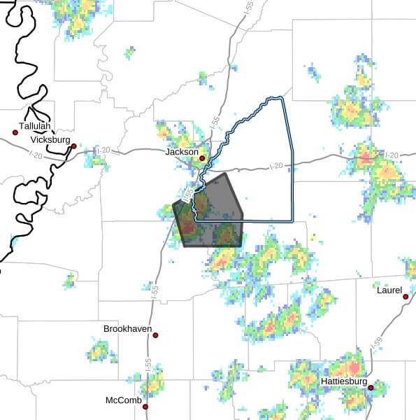
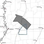
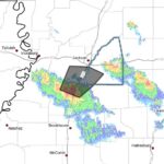
Strong thunderstorms are moving through southwestern Rankin County and portions of northwestern Simpson, southeastern Hinds and northeastern Copiah counties through 2:00 p.m. CDT, Doppler radar indicated Sunday. The storms were tracked near Whites or near Crystal Springs at 1:21 p.m., moving east at 10 mph.
Authorities said the primary hazard is wind gusts up to 40 mph, which could knock down tree limbs and blow around unsecured objects. The advisory listed Jackson, Florence, Terry, Star, Hopewell, Whites, Monterey, Harrisville and Piney Woods among the locations that could be affected. Maximum hail size was reported as 0.00 inch.
Strong thunderstorms can produce sudden gusty winds, brief heavy rainfall and localized hazards that affect travel and outdoor activities. Residents in the warned areas should remain alert for rapidly changing conditions and be prepared for the possibility of downed branches or debris on roadways.
Officials urged anyone outdoors to consider seeking shelter inside a building and to secure loose outdoor objects. We will provide more information as it becomes available.
Jon Ross Myers founded Mississippi News Group in 2013. Before founding the organization, he worked at The Daily Mississippian, The Marion Salute and The Southern Sentinel. A Mississippi journalist and writer based in Ripley, he received second place in poetry in the 2025 William Faulkner Literary Competition for "The Garden."
Stay connected
Mississippi, wherever you are.
Follow our coverage on Facebook and watch Mississippi News Group on YouTube.