National Weather Service issues severe thunderstorm warning for central Mississippi
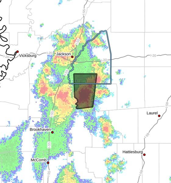
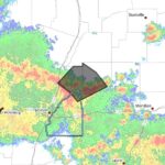
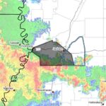
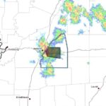
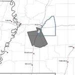
The National Weather Service in Jackson issued a severe thunderstorm warning Thursday for southwestern Rankin County and western Simpson County in central Mississippi, saying the warning is in effect until 3:30 p.m. CDT. At 2:30 p.m. CDT, the service reported a storm over Harrisville, about 10 miles west of Mendenhall, moving north at 20 mph with radar indicating wind gusts up to 60 mph and quarter-size hail.
The bulletin said hail damage to vehicles is expected and that winds could damage roofs, siding and trees. It listed Braxton, Star and Piney Woods as locations the storm was expected to approach around 2:35 p.m. CDT. The warning information was provided by the National Weather Service in Jackson.
The advisory included technical details, noting a radar-indicated maximum hail size of 1.00 inch and a radar-indicated maximum wind gust of 60 mph. The bulletin urged people to move to an interior room on the lowest floor of a building for protection.
Severe thunderstorm warnings are issued when storms pose a risk of damaging winds or large hail. Officials advise taking shelter immediately and avoiding travel if possible. We will provide more information as it becomes available.