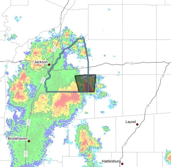
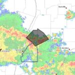
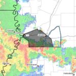
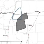
The National Weather Service in Jackson issued a severe thunderstorm warning Thursday for southeastern Rankin County and northwestern Smith County in central Mississippi, saying the warning is in effect until 4:00 p.m. CDT.
At 2:55 p.m. CDT, the NWS said a severe thunderstorm was located over Puckett, about 12 miles northeast of Mendenhall, moving north at 10 mph. Radar indicated wind gusts up to 60 mph and quarter-size hail; the advisory also listed a radar-indicated maximum hail size of 1.00 inch.
The warning said hail damage to vehicles is expected and that winds could damage roofs, siding and trees. The storm was forecast to be near Polkville and Johns around 3:00 p.m. CDT.
The NWS advised people in the warning area to move to an interior room on the lowest floor of a building for protection. The National Weather Service regularly issues severe thunderstorm warnings when radar or spotters show hazards capable of producing damaging winds or hail. We will provide more information as it becomes available.
Jon Ross Myers founded Mississippi News Group in 2013. Before founding the organization, he worked at The Daily Mississippian, The Marion Salute and The Southern Sentinel. A Mississippi journalist and writer based in Ripley, he received second place in poetry in the 2025 William Faulkner Literary Competition for "The Garden."
Stay connected
Mississippi, wherever you are.
Follow our coverage on Facebook and watch Mississippi News Group on YouTube.