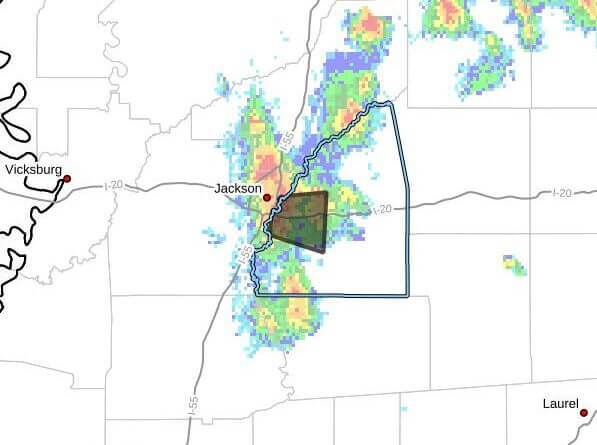
At 2:42 p.m. CDT Thursday, Doppler radar tracked a strong thunderstorm over Pearl moving east at 15 mph that was expected to impact west central Rankin County through 3:15 p.m., the advisory said.
Radar indicated wind gusts up to 40 mph and torrential rainfall with a risk of localized flooding. The storm was forecast to affect Jackson, Pearl, Brandon and Flowood around 2:45 p.m. Radar showed no hail associated with the storm.
The advisory warned that gusty winds could knock down tree limbs and blow around unsecured objects. It urged anyone outdoors to seek shelter inside a building, cautioned against driving through flooded roadways and noted that high winds can bring down trees and large limbs, causing injury or property damage.
Strong thunderstorms can produce sudden wind gusts and heavy rain that lead to flash flooding and fallen trees. Residents should monitor local forecasts and emergency information for updates. We will provide more information as it becomes available.