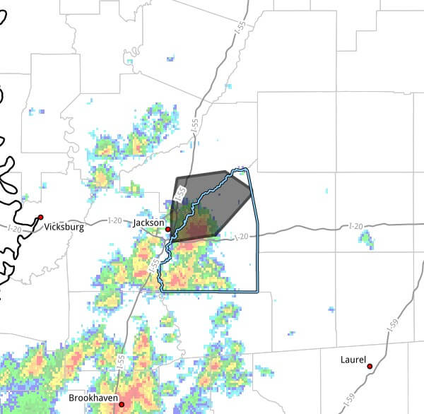
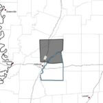
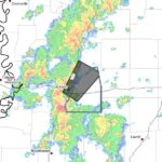
At 1:27 p.m. CDT Thursday, Doppler radar tracked a cluster of strong thunderstorms near Flowood moving northeast at 10 mph, threatening northern Rankin, east-central Hinds and southeastern Madison counties through 2:30 p.m. CDT, according to the alert. The advisory said radar-indicated wind gusts could reach 50 mph and that hail was negligible.
The warning said gusty winds could knock down tree limbs and blow around unsecured objects. Torrential rainfall is occurring with the storm and may lead to localized flooding. Motorists were urged not to drive through flooded roadways and anyone outdoors was advised to seek shelter inside a building.
Communities listed in the advisory included Jackson, Madison, Ridgeland, Canton, Flowood, Gluckstadt, Pisgah, Goshen Springs and Fannin. Jackson is the state capital and part of the area often affected by summer storms.
Severe thunderstorms are common in Mississippi during summer months as warm, humid air fuels rapid storm development. We will provide more information as it becomes available.
Jon Ross Myers founded Mississippi News Group in 2013. Before founding the organization, he worked at The Daily Mississippian, The Marion Salute and The Southern Sentinel. A Mississippi journalist and writer based in Ripley, he received second place in poetry in the 2025 William Faulkner Literary Competition for "The Garden."
Stay connected
Mississippi, wherever you are.
Follow our coverage on Facebook and watch Mississippi News Group on YouTube.