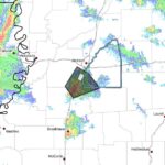
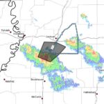
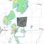
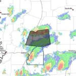
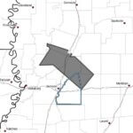
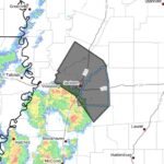
A weather alert posted on Facebook says strong thunderstorms will affect northeastern Rankin, western Scott, east-central Yazoo and central Hinds and Madison counties through 10:45 p.m. CDT.
At 9:22 p.m. CDT, Doppler radar tracked a line of strong storms extending from near Sharon to near Brownsville moving southeast at 15 mph, the alert said. Radar indicated wind gusts up to 40 mph.
Officials warned gusty winds could knock down tree limbs and blow around unsecured objects. The alert said storms would be near Jackson, Canton, Gluckstadt, Annandale and Brownsville around 9:30 p.m.; Bolton around 9:35 p.m.; Madison around 9:40 p.m.; Ridgeland around 9:45 p.m.; Clinton around 9:50 p.m.; Goshen Springs around 9:55 p.m.; Pisgah around 10:00 p.m.; and Fannin around 10:05 p.m.
The alert advised anyone outdoors to seek shelter inside a building. It also said torrential rainfall occurring with the storms may lead to localized flooding and warned drivers not to attempt to drive through flooded roadways. We will provide more information as it becomes available.
Jon Ross Myers founded Mississippi News Group in 2013. Before founding the organization, he worked at The Daily Mississippian, The Marion Salute and The Southern Sentinel. A Mississippi journalist and writer based in Ripley, he received second place in poetry in the 2025 William Faulkner Literary Competition for "The Garden."
Stay connected
Mississippi, wherever you are.
Follow our coverage on Facebook and watch Mississippi News Group on YouTube.