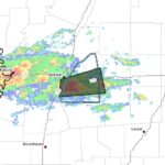
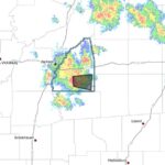
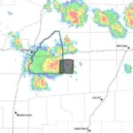
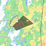
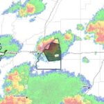
A strong thunderstorm is moving through parts of central Mississippi Friday afternoon, bringing wind gusts up to 50 mph and the potential to down tree limbs and move unsecured objects. Radar was valid at 3:35 p.m. CDT Friday, Aug. 21, 2026, and the storm is expected to affect southeastern Rankin, northeastern Simpson and northwestern Smith counties through 4:30 p.m. CDT.
At 3:34 p.m. CDT, Doppler radar was tracking the storm near Johns, about 10 miles southeast of Brandon, moving south at 10 mph. Radar indicated maximum wind gusts of 50 mph and a maximum hail size of 0.00 inch.
Forecasters warned that gusty winds could knock down tree limbs and blow around unsecured objects. Locations listed as potentially impacted include D’Lo, Puckett, Braxton, Star, Cato, White Oak, Monterey, Johns and Piney Woods. Officials advised anyone outdoors to seek shelter inside a building and to monitor local radio and television for updates and possible warnings from the National Weather Service.
A Severe Thunderstorm Watch remains in effect until 8 p.m. CDT for central Mississippi. This is a developing story and will be updated as more details emerge.
Jon Ross Myers founded Mississippi News Group in 2013. Before founding the organization, he worked at The Daily Mississippian, The Marion Salute and The Southern Sentinel. A Mississippi journalist and writer based in Ripley, he received second place in poetry in the 2025 William Faulkner Literary Competition for "The Garden."
Stay connected
Mississippi, wherever you are.
Follow our coverage on Facebook and watch Mississippi News Group on YouTube.