Storms threaten South Mississippi, northeast Louisiana Wednesday
Forecasters say an active weather day is expected Wednesday with rain possible throughout the day and thunderstorms becoming more numerous this afternoon into the early evening. Darkhorse Press said some storms could turn severe in areas highlighted as Enhanced Risk, with damaging winds, large hail ranging from quarter-size up to golf ball-size and the possibility of tornadoes.
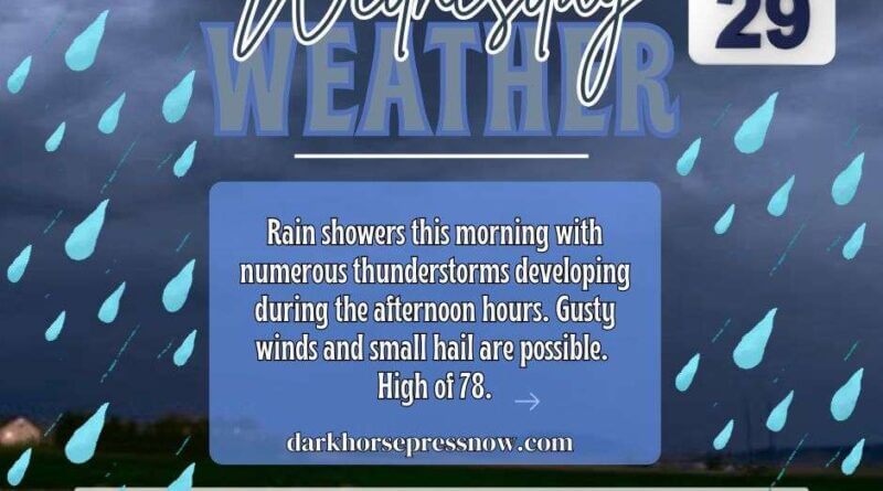
Darkhorse Press said a Level 2 Slight Risk has been added for parts of South Mississippi and northeast Louisiana. Highs will climb to about 78 degrees, and localized flooding is possible where heavy rain sets up.
Scattered thunderstorms are expected to continue tonight and may become more widespread overnight before tapering, with lows near 60. Some stronger storms could linger into the evening hours, and officials urge residents to have a way to receive weather alerts after dark.
The unsettled pattern is expected to persist, with more rain and storms forecast for Thursday and Friday. Darkhorse Press said people should keep an umbrella and a plan to get warnings, and this is a developing story that will be updated as more information becomes available.


