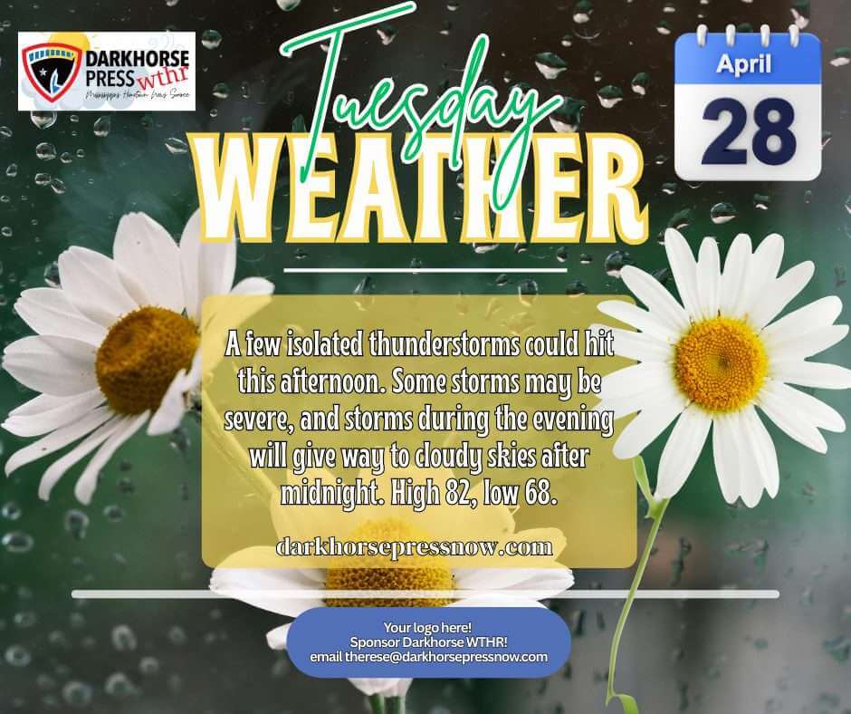
Warm, unsettled weather will dominate the area Tuesday as highs climb to about 82 degrees and isolated thunderstorms develop this afternoon, Darkhorse Press reported. Some storms could become strong to severe, and south winds will be breezy at 10 to 15 mph, forecasters said.
Thunderstorms remain possible through the evening before tapering after midnight, leaving mostly cloudy skies and a mild low near 68 degrees. Forecasters warned that a few storms could still be strong early in the night.
The active pattern continues through the week. Darkhorse Press said scattered afternoon and evening thunderstorms are possible Wednesday, followed by cooler air and more clouds Thursday. Friday looks to be the wettest day of the stretch, with widespread rain likely and temperatures only reaching the low 60s.
A few leftover showers are possible Saturday morning, with conditions improving Sunday as sunshine returns and temperatures rebound into the mid-70s. We will provide more information as it becomes available.
Jon Ross Myers founded Mississippi News Group in 2013. Before founding the organization, he worked at The Daily Mississippian, The Marion Salute and The Southern Sentinel. A Mississippi journalist and writer based in Ripley, he received second place in poetry in the 2025 William Faulkner Literary Competition for "The Garden."
Stay connected
Mississippi, wherever you are.
Follow our coverage on Facebook and watch Mississippi News Group on YouTube.